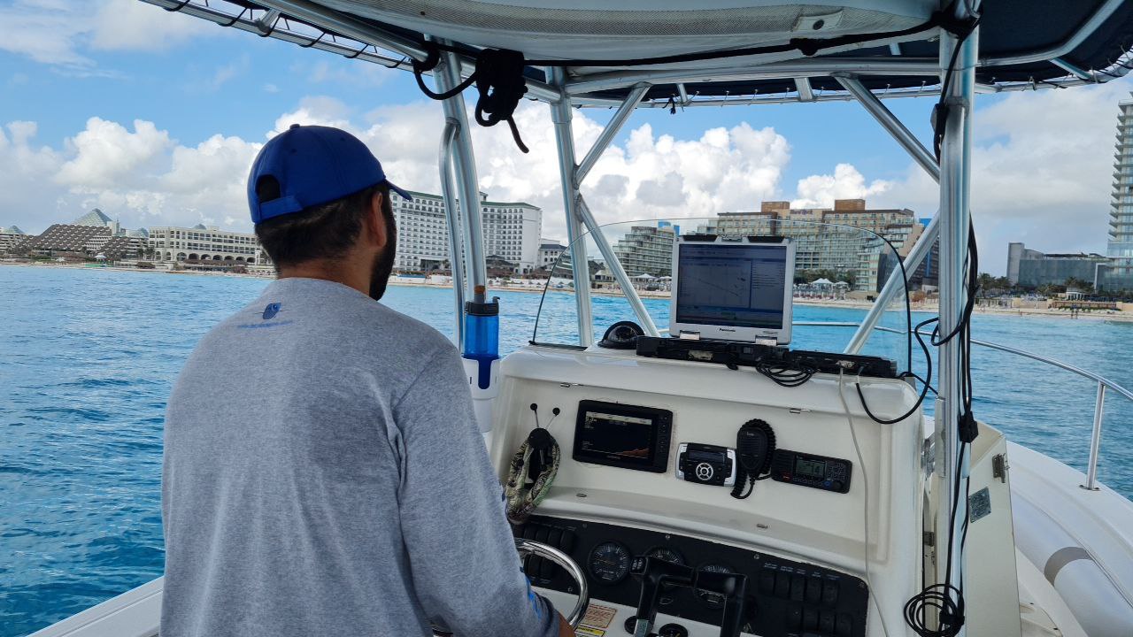
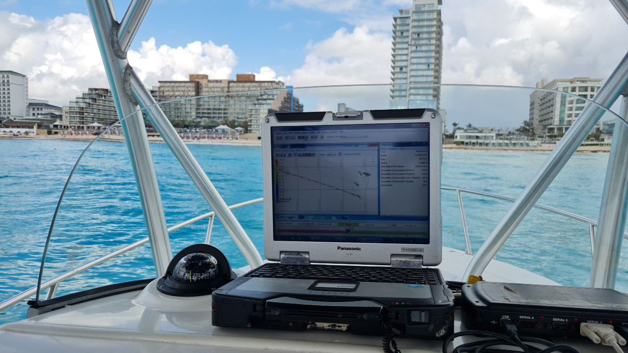
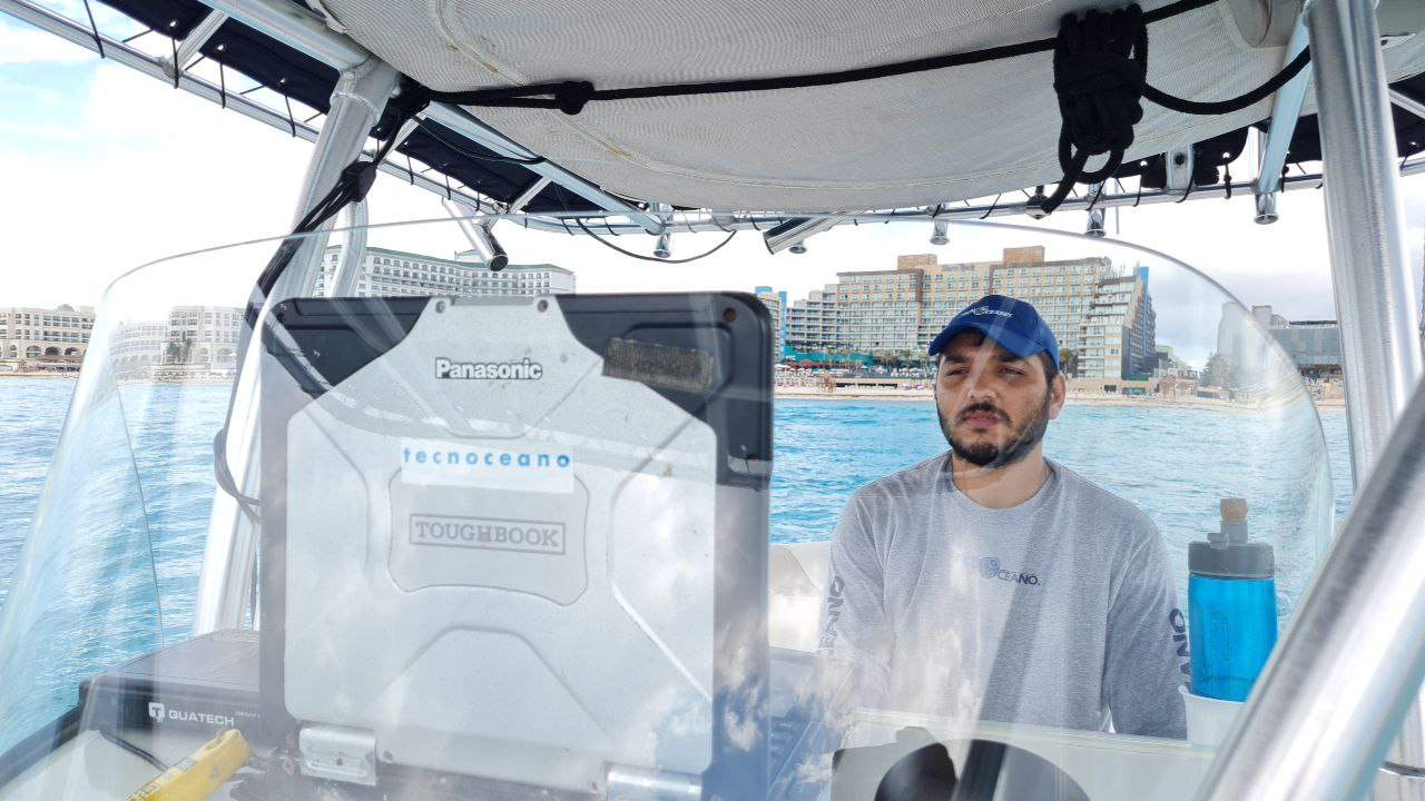
At Tecnoceano we are the only consultant in Mexico that can offer integral solutions in coastal studies and projects, with extensive experience in the area of environmental impact. Our service includes from the initial reconnaissance of the site, field studies, analysis of solutions, executive project, Environmental Impact Studies, project supervision and future monitoring. We have multiple data acquisition equipment in the field, the information derived from them can be delivered raw, edited or in a final report with interpretation and analysis.
Some of the most requested products are georeferenced plans, curves with GIS attributes, 3-dimensional surfaces, marine charts, sections, and topographic and bathymetric contour lines.
As additional services, we also carry out topography, ZOFEMAT delimitations according to NOM 146 and Photogrammetry.