Topography and photogrammetry
Studies to define the topographical characteristics of the area of interest for the project.
Knowing the topographical characteristics and the state terrain prior to the development of a project is of the utmost importance since it allows us to have accurate and timely information on the property on which the development of your work is intended to be carried out. For this we use photogrammetry and topography.
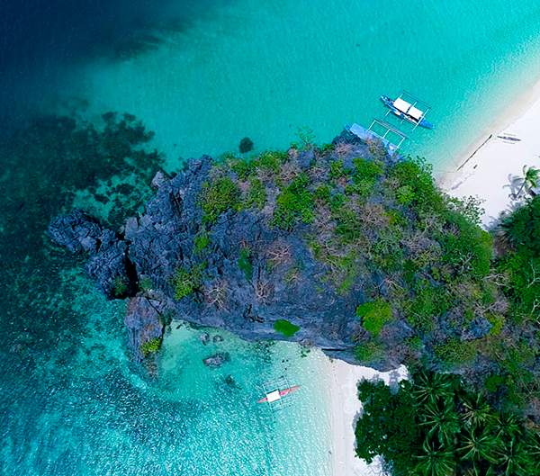
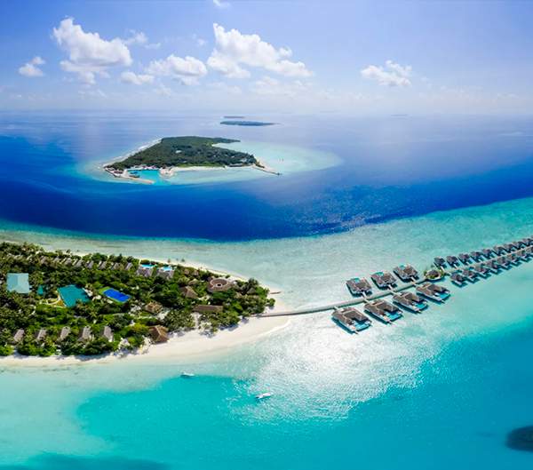
Photogrammetry will allow you to obtain maps and plans of your area of action, contour lines, volumetry and comparisons through aerial photographs. This study is implemented in all projects in which it is required to know the surface physical characteristics of the area of interest and delimit it. In order to do this, drones with 4k cameras with a quality of 3 cm per pixel are used, which contain geographic information thanks to the built-in GPS.
Topographic studies allow us to carry out a detailed analysis of the surface characteristics of your property. We offer results at higher speeds, with higher sampling density and better precision with non-accumulative errors. To achieve this, we use modern RTK equipment supported by the GPS Navstar satellite constellations, the new GLONASS, differentials and a geopositioning base station. points are raised with a handheld computer and a mobile receiver, in final coordinates and with millimeter precision.
This set of studies will allow you to obtain a highly accurate representation of the terrain in which your project will be carried out. With Tecnoceano you will obtain reports that include methodology, illustrative images and precision statistical analysis.


Estudies
- Photogrammetry
- Topography
Deliverables
- Photogrammetry.
- Search for existing data, cartography, INEGI curves, satellite photos (if required) and flight planning.
- Survey with drone and topographic GPS.
- Detailed report of the procedure and delivery of results.
- Topography.
- Existing data research, cartography, INEGI curves, satellite photos.
- Field survey with measurements, taking positions and references.
- Processed data in XYZ format.
- Technical report of the procedure and analysis of results.
- Final plans, location of structures, contour lines and boundaries in CAD or SHP format.
PROCEDURES AND SERVICES

