Study of risks against hurricanes, storms and maximum waves in coastal projects.
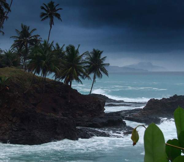
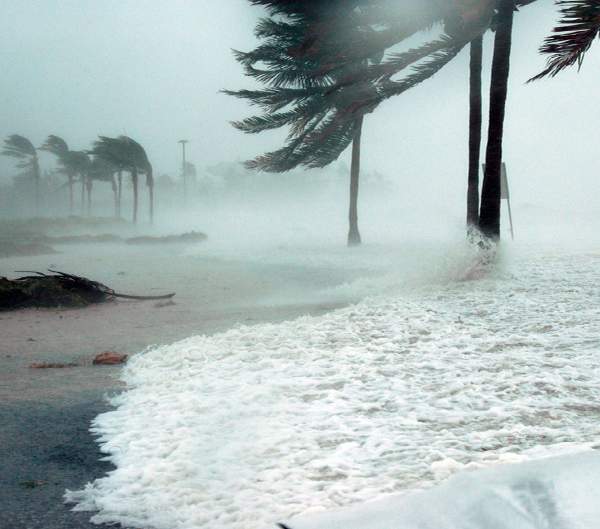
The sea level is constantly rising due to climate change, storms and hurricanes have been more recurrent, reaching the Caribbean and Pacific coasts with greater force. These events cannot be stopped, but it is possible to greatly mitigate the damage they cause, with accurate information on the possible risks to be prevented, thus taking care of the well-being of the communities and their infrastructure.
The objectiveof risk analysis is to protect your development by studying the history of storm events, to generate possible risk scenarios, simulate them and with the results, establish maps of sites vulnerable to flooding, high wave propagation and submit recommendations in the face of the destruction of your structure and the erosion of the coastal area due to these events. This is achieved through studies using modern equipment. Topographic surveys with high-precision RTK equipment, measurements of currents, waves and tides; hydrodynamic models of hurricanes categories 1, 3 and 5 and study of tropical storms, including Sea Level Rise due to Climate Change.
For your total confidence, with us you will obtain plans and final models, a detailed report of the procedures, precision analysis and the original data of the studies.