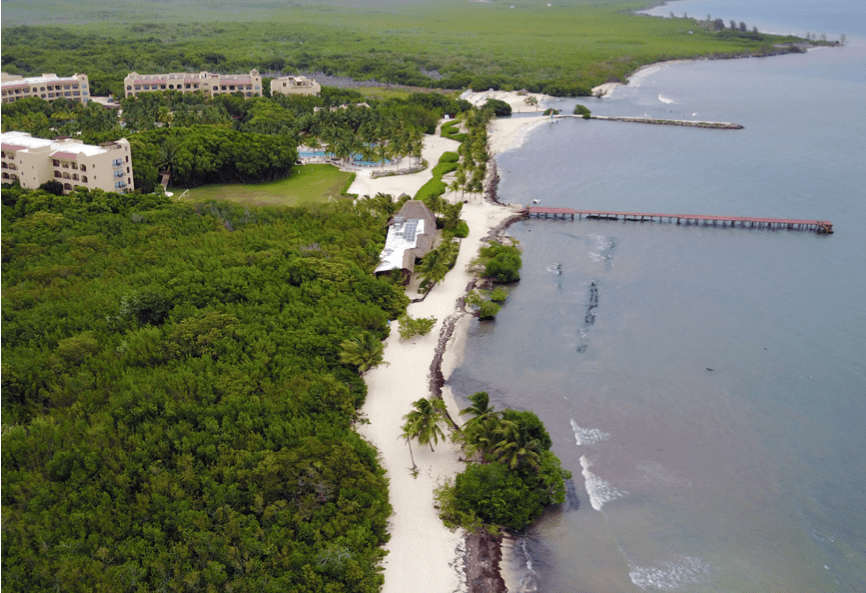

Corey Elmaleh, Six Sense en Belice
We came to Tecnoceano to help us solve the challenges associated with our island project. They took a methodical approach to collecting the relevant data to help us understand more about the dynamics of our site and assess the risk associated with different solutions. The best thing about Ernesto and his team is that they always find unique solutions to solve complicated problems.
I highly recommend his services to any interested party.

Miguel Gonzalez, Isla Ixtapa
Ernesto Gray and his Tecnoceano team are professionals, they have helped us in our Isla Ixtapa project, in Ixtapa Zihuatanejo. In all the programming and technical studies to develop them.
We are very satisfied with the service.