Our clients
Ortega y asociados, Ixtapa, Guerrero
Topography and Photogrammetry
OBJECTIVE
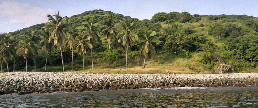
Know the elevations of the land on the coast and slopes in the Barra Potosi lot, referred to the Mean Sea Level, with the aim of being able to divide the lot for different uses and to be able to generate architectural plans for future works.
STRATEGY
Install high-precision topographical equipment in the lot, measure the level of the water mirror at high and low tide hours to install a reference level bank at mean sea level, and carry out transects measuring the elevations from the beach to the highest part of the land and on the other side to the wetland.
WORK TOOLS
RTK topography equipment and total station.
RESULTS
An XYZ file was obtained with coordinates and elevations of the terrain as well as a plan in CAD and DXF format, with which engineering and architecture can work.


Corey Elmaleh, Six Sense en Belice
We came to Tecnoceano to help us solve the challenges associated with our island project. They took a methodical approach to collecting the relevant data to help us understand more about the dynamics of our site and assess the risk associated with different solutions. The best thing about Ernesto and his team is that they always find unique solutions to solve complicated problems.
I highly recommend his services to any interested party.


Miguel Gonzalez, Isla Ixtapa
Ernesto Gray and his Tecnoceano team are professionals, they have helped us in our Isla Ixtapa project, in Ixtapa Zihuatanejo. In all the programming and technical studies to develop them.
We are very satisfied with the service.

