Our clients
Hilton Puerto Vallarta
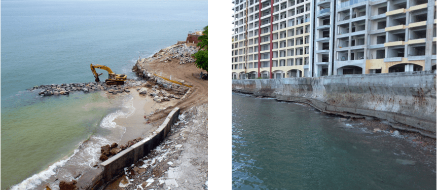
Erosion and instability
OBJECTIVE
Stabilize a beach that receives high waves and has an outlet of water from surrounding hills that can drain high amounts of rainwater.
STRATEGY
Topobathymetry to generate a 3D model of the area, obtain and analyze 30 years of metaoceanic data to identify wave and wind characteristics on site, feeding a mathematical model for a project of beach rehabilitation.
WORK TOOLS
Single beam echosounder, transducer, high precision GPS, small boat, heavy duty computer and RTK surveying equipment. Hypack and DELF 3D software.
RESULTS
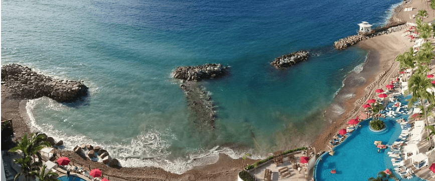
A beach stabilization project was generated that includes a groyne, a long straight breakwater and a short straight breakwater, both parallel to the coastline, a protection based on two mini groines and protection against erosion with a gravel bed and geotextile in the outlet of rainwater to prevent massive loss of sand. Around 8 m of beach were recovered, the beach has withstood storms with slight damage.


Corey Elmaleh, Six Sense en Belice
We came to Tecnoceano to help us solve the challenges associated with our island project. They took a methodical approach to collecting the relevant data to help us understand more about the dynamics of our site and assess the risk associated with different solutions. The best thing about Ernesto and his team is that they always find unique solutions to solve complicated problems.
I highly recommend his services to any interested party.


Miguel Gonzalez, Isla Ixtapa
Ernesto Gray and his Tecnoceano team are professionals, they have helped us in our Isla Ixtapa project, in Ixtapa Zihuatanejo. In all the programming and technical studies to develop them.
We are very satisfied with the service.

