Our Services
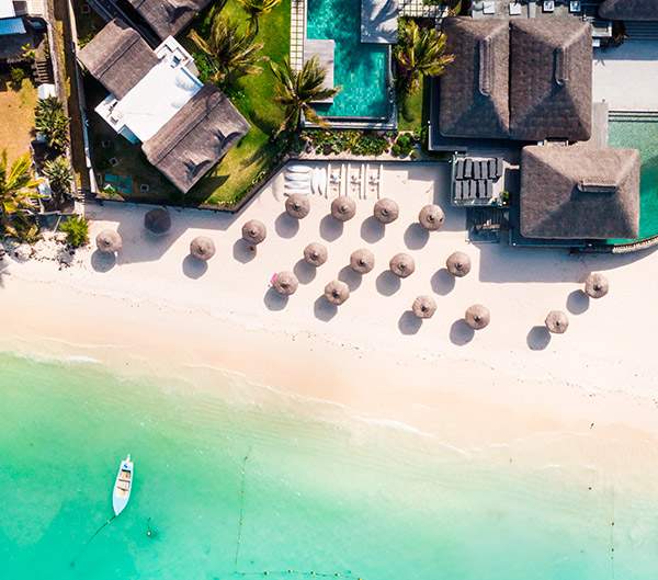
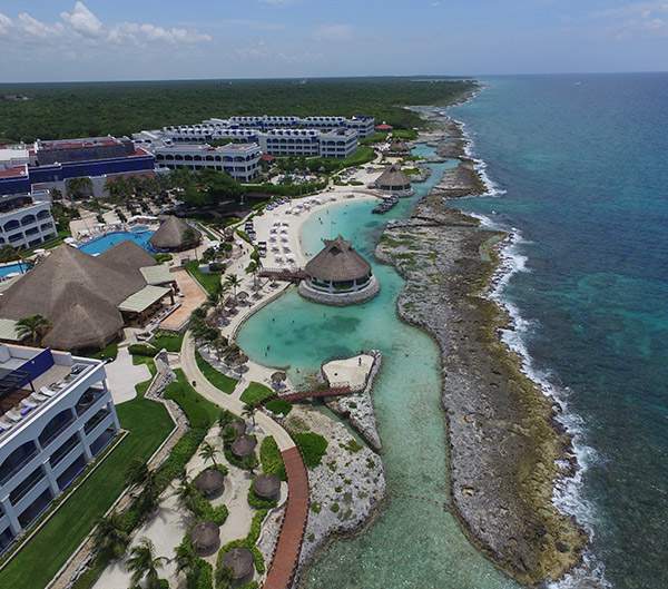
Engineering value solutions for ports and coasts, residential and commercial developments, hotel projects and beach recovery.
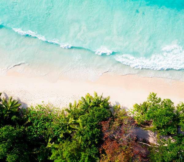
Recovery and rehabilitation of beaches
Recovery of beaches and coastal areas.
We provide integral services, including bathymetry; measurement of currents, waves and tides; seabed classification, sub bottom profiling, and core extraction; hydrodynamic modeling, risk analysis and executive project.
Procedures and permits
ZOFEMAT, SCT, SEMAR y SEMARNAT permits.
We carry out the initial reconnaissance of the site, field studies, executive project, follow-up studies and the necessary technical support for your environmental impact statement.
Design and projection
Bathymetry, measurement of currents, waves and tides, hydrodynamic modeling, risk analysis, coastal topography and executive project.
Studies that analyze the characteristics of your project site, determining the morphology of the coast and marine behavior, identifying the feasible uses of each area and the necessary measures to protect your development.
Oceanography
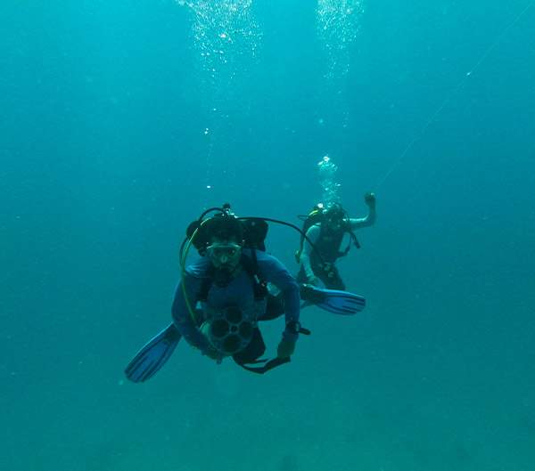
Single and multibeam bathymetry.
Detailed representation of the seabed by means of bathymetry with single beam, multibeam equipment and bottom profiling studies.
Erosion and instability
Bathymetric, topographic plans and wave data.
Harmonized beach service and placement of underwater barriers to mitigate the factors that generate erosion.
Risk analysis
Measurement of currents, waves and tides; hydrodynamic model of hurricanes categories 1, 3 and 5.
Study of tropical storms and hydrographic analysis: Study of the history of storms and hurricanes in order to generate possible risk scenarios and protection measures for your assets.
Topography and Photogrammetry
Topography, recognition of the property, photogrammetry and aerial photography.
Studies for the reconnaissance and subsequent comparison of the topographical characteristics of the project's area of action using aerial photography and high-precision RTK topographical equipment.

