Oceanography
Studies and reports on the seabed
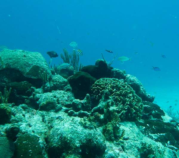
The oceanographic study is the main foundation of any project or activity on the coast and the sea. Obtaining a detailed representation of the seabed, it will be possible to understand the morphology of the area, essential to start with the correct design of any coastal and maritime project.
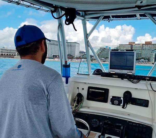
At Tecnoceano we have the latest technological equipment to carry out bathymetric surveys in any body of water, covering large areas accurately and quickly. Through our monobeam and multibeam echo sounder equipment; Differential GPS, RTK and modern hydrography software with which it allows us to obtain a faithful representation of the bottom in two and three dimensions. At Tecnoceano we guarantee 100% coverage of the area of interest for your project and final products that meet the most rigorous international standards, ranging from 3 to 250 meters deep.
With us you will obtain models that include comparisons between surveys, 3D animation and modeling of the seabed and the coast through the generation of meshes (xyz). At Tecnoceano we not only deliver the final plans or models, but also a detailed report of the procedure, precision analysis and the original data. We give you total confidence in the veracity and quality of the information.


Estudies
- Bathymetry with singlebeam equipment.
- Bathymetry with multibeam equipment.
- Sub bottom profiler.
Deliverables
- Bathymetric plans and reports.
- Seabed report.
PROCEDURES AND SERVICES

